Timothy King for Cloudcroft Village Council
I was asked to answer some questions by Chris Edwards at Alamogordo Town News and here are my responses.
1. What community experience qualifies you for public office?
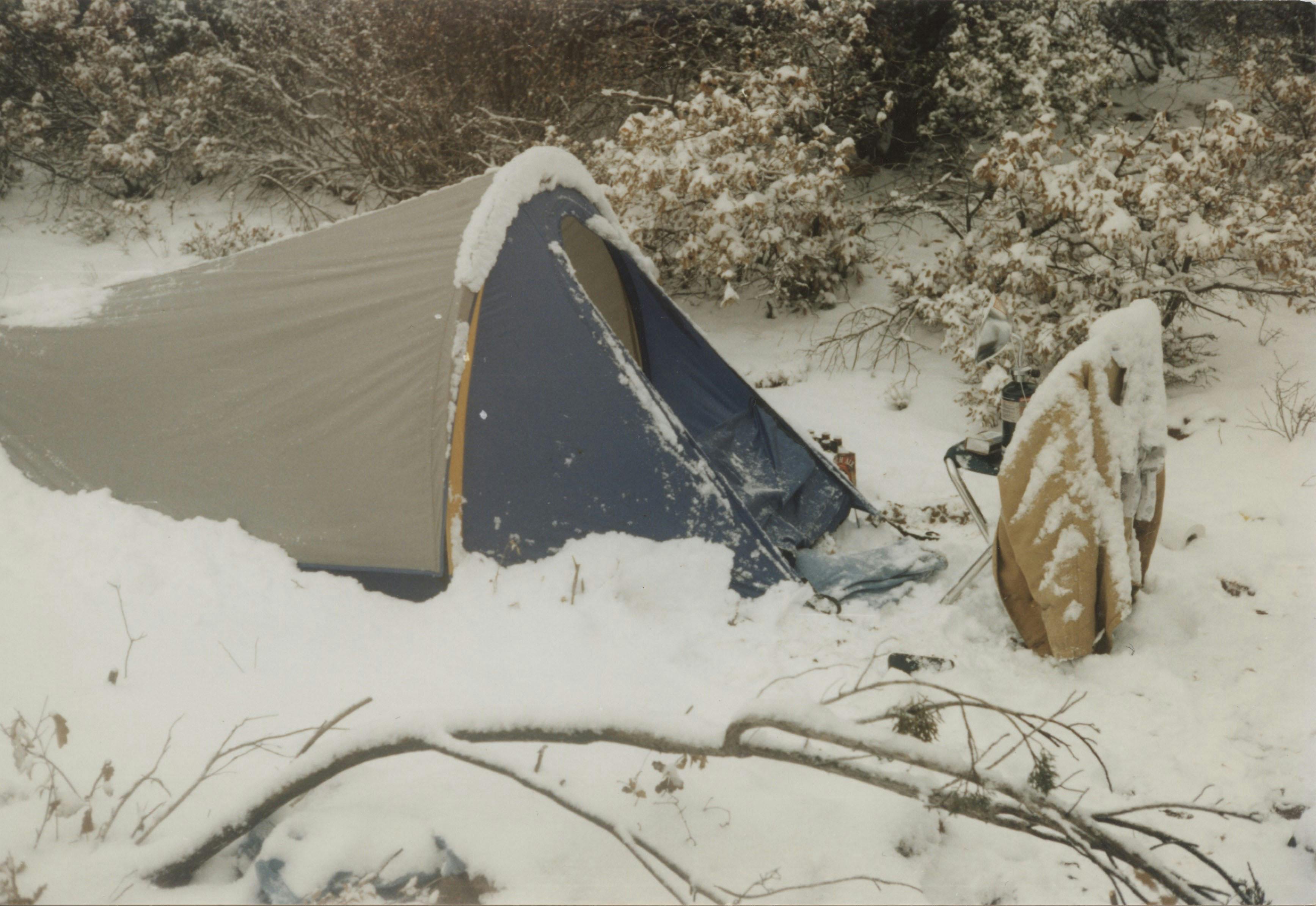
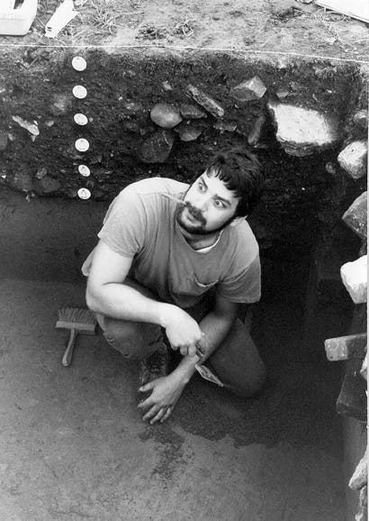
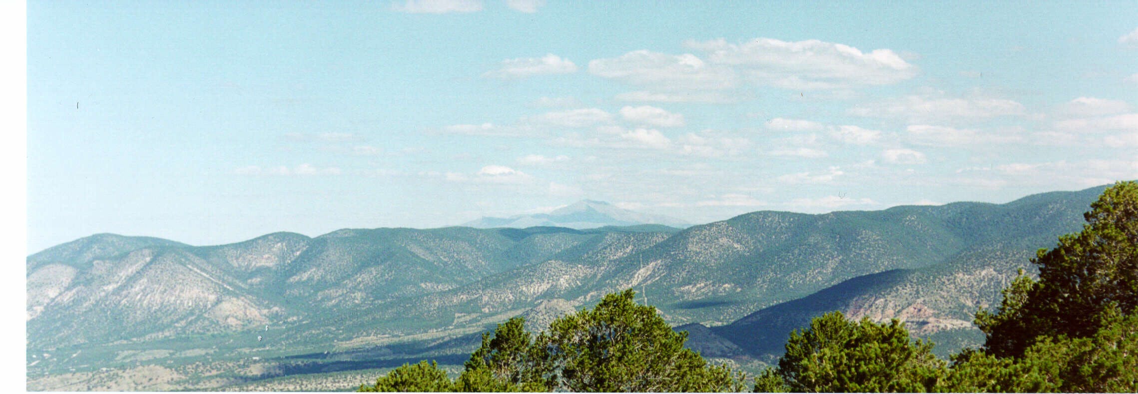
I first came to Cloudcroft in 1995 for archaeological work. Since then, I have had an unwavering affection and appreciation for our Village. My background is in Archaeology, Cultural Resource Management and Geographic Information Systems (GIS). My wife, Gail, and I purchased the Summit Inn in August 2021 and have been updating and renovating it since then. I understand the problems that come with growth and feel my previous career as a GIS Specialist can help better manage Village resources.
2. If you are seeking office, please explain 3 initiatives you propose to directly impact your district or village and how you will facilitate passage with the commission.
i. A Village GIS System
ii. Water Capture Initiative
iii. Village Govt Transparency on infrastructure initiatives
b. I will use demo projects along with my past experience to show other council members and the Mayor the benefits of a Village GIS System.
3. Why are you running for office? What is your motivation to be an office holder?
I am running for the Village Council because I love this community and I want to see it thrive and share its natural beauty with residents and tourists alike.
4. What do you view as the biggest opportunity as a leader in the role you are seeking? How will you expand community engagement and bipartisan leadership?
My previous role as Lead Cultural GIS Specialist on the Alaksa LNG Project gives me a unique perspective on managing and protecting our natural and cultural resources that make The Village of Cloudcroft special. I developed data collection systems along the 850 mile Alaska LNG pipeline corridor using wide variety of datasets to fulfill local, state and federal regulations. This experience leads directly to my primary initiative to develop a GIS system for Cloudcroft that will aid in issues including water, housing and infrastructure. The system will involve the use of a Village App that will keep local residents abreast of ongoing projects, timelines and other activities in the Village.
5. The demographics of Otero County 4.6% Black, 8.1% Other 39.7% Hispanic, 46.9% Caucasian, 7.1% identify as members of the LBGTQ community according to the US Census. What outreach have you done to build consensus and constituencies within the diversity of the citizens in your district or village?
I prefer not to divide people into groups/categories other than human beings. As the Innkeeper of the Summit Inn, we have hosted guests from all over the world and every one of them is respected as an individual human being. My outreach has been to highlight my personal story and my previous work experience and hope those experiences are relatable to other human beings personal experiences.
6. What is the one thing about your district, city or village that excites you the most?
I really feel a Village GIS system can move Cloudcroft forward and make it one of the most innovative villages in the state of New Mexico and maybe the entire US. We can do better!
Here is my short blurb that will be in the November Mountain Monthly.
I first came to Cloudcroft in 1995 for archaeological work. Since then, I have had an unwavering affection and appreciation for our Village.
I am running for the Village Council because I love this community and I want to see it thrive and share its natural beauty with residents and tourists alike.
My background is in Archaeology, Cultural Resource Management and Geographic Information Systems (GIS). I have organized data collection and dissemination on massive pipeline projects from Alaska, Pennsylvania, Virginia and Texas.
These projects involved creating, managing, organizing and implementing strategies to get crews to remote locations safely and processing large amounts of spatial and tabular data to fulfill local, state and federal regulations.
I have worked as a contractor for the Bureau of Land Management in Anchorage, Alaska and the US Forest Service Remote Sensing Application Center in Salt Lake City, Utah.
I have also worked with large engineering firms including URS Corporation, HDR, AECOM, and exp.
My 30 years of experience in these fields have led me to propose creating a Village Geographic Information System (GIS) geared to increase governmental transparency and boost community engagement.
The GIS system shows my forward-thinking approach. The status quo in the Village has not solved the problems that existed when I arrived in 1995. We need to move forward, and We need to do better.
This interactive platform would allow residents to track local projects in real-time, get up-to-date information, and stay informed about ongoing projects in Cloudcroft. I will ensure that you will always be informed.
Such a system ensures that the community remains at the heart of local governance, fostering trust and collaboration between the council and its residents.