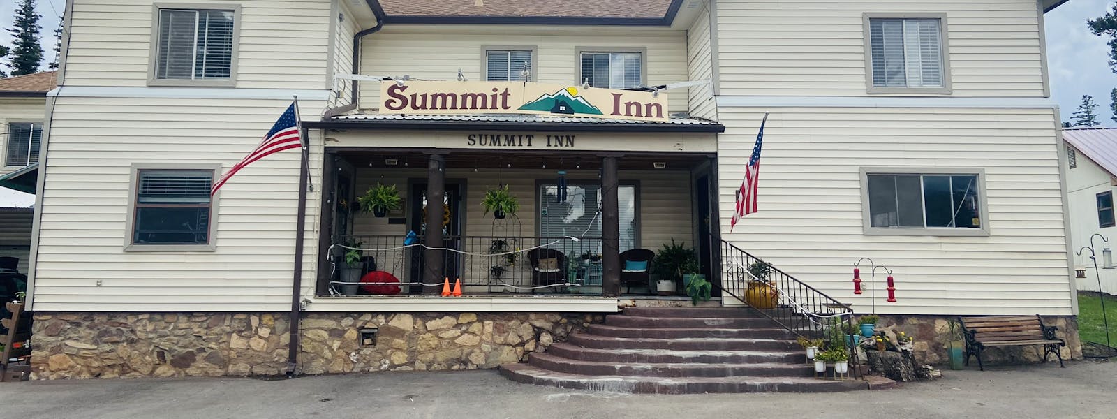


WELCOME TO THE Summit Inn
Enjoy life at 9000' above stress level
In the heart of Cloudcroft - The Playground of the Four Seasons
Videos
Attractions
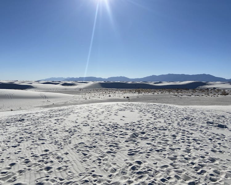
White Sands National Park
White Sands National Park:
Rising from the heart of the Tularosa Basin is one of the world's great natural wonders - the glistening white sands of New Mexico. Great wave-like dunes of gypsum sand have engulfed 275 square miles of desert, creating the world's largest gypsum dunefield. White Sands National Park preserves a major portion of this unique dunefield, along with the plants and animals that live here. https://www.nps.gov/whsa/index.htm
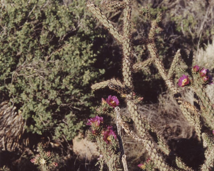
Valley of Fires
Valley of Fires recreation area is located immediately adjacent to the Malpais Lava Flow. Approximately 5,000 years ago, Little Black Peak erupted and flowed 44 miles into the Tularosa Basin, filling the basin with molten rock. The resulting lava flow is four to six miles wide, 160 feet thick and covers 125 square miles. The lava flow is considered to be one of the youngest lava flows in the continental United States.
From a distance, Valley of Fires appears as barren rock but when you walk through the nature trail there are many varieties of flowers, cactus, trees and bushes typical of the Chihuahuan desert. Animals include bats, roadrunners, quail, cottontails, mule deer, barberry sheep, and lizards. It's also a virtual birdwatcher's paradise with great horned owls, burrowing owls, turkey vultures, hawks, gnat catchers, cactus wrens, sparrows and golden eagles.
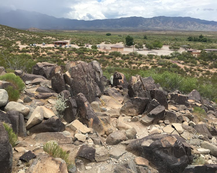
Three Rivers Petroglyphs
The Three Rivers Petroglyphs are outstanding examples of prehistoric Jornada Mogollon rock art. The basaltic ridge rising above the Three Rivers Valley contains over 21,000 petroglyphs, including masks, sunbursts, wildlife, handprints, and geometric designs. The number and concentration of petroglyphs make this one of the largest and most interesting rock art sites in the Southwest. A rugged 0.5-mile trail begins at the visitor shelter and links many of the most interesting petroglyphs. Another short trail begins on the east side of the picnic area and leads to a partially excavated prehistoric village.
The Three Rivers Petroglyph Site is one of the few locations in the Southwest set aside solely because of its rock art. It is also one of the few sites giving visitors such direct access to petroglyphs. The number and concentration of petroglyphs here make it one of the largest and most interesting petroglyphs sites in the Southwest. More than 21,000 glyphs of birds, humans, animals, fish, insects and plants, as well as numerous geometric and abstract designs are scattered over 50 acres of New Mexico's northern Chihuahuan Desert. The petroglyphs at Three Rivers, dating back to between about 900 and 1400 AD, were created by Jornada Mogollon people who used stone tools to remove the dark patina on the exterior of the rock. A small pueblo ruin is nearby and Sierra Blanca towers above to the east. A detailed petroglyph guide is available at the Three Rivers Petroglyph Site.
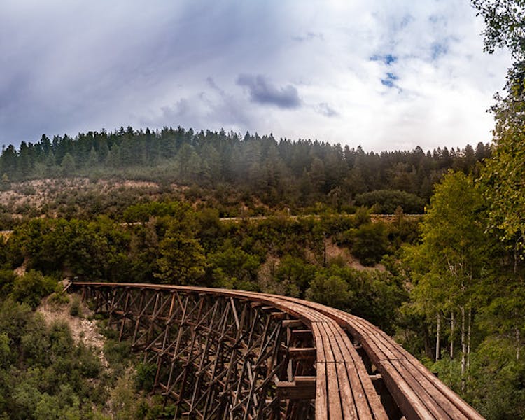
Mexican Canyon Railroad Trestle Overlook
Railroads came to southern New Mexico in 1897 when Charles Eddy began building a line for his El Paso and Northeastern Railway Company northwards from El Paso in hopes of ultimately joining the Rock Island Railroad line, which was then installing track across Kansas.
By June of 1898, Eddy reached what is now Alamogordo, a town he founded and headquarters for Eddy’s rail company. One of two railroad lines built by Eddy included the newly created Alamogordo & Sacramento Mountains Railway, which was constructed eastward into the Sacramento Mountains to Cloudcroft, a town founded by Eddy in 1899, and beyond. The line carried millions of board feet of lumber out of the mountains between 1898 and 1938. Vacationers boarded the railway during the summer months from 1900 to 1930. The Village of Cloudcroft, located at over 8000 feet, became a popular destination for El Pasoans who wished to escape the summer heat.
The line from Alamogordo to Cloudcroft was an engineering marvel and became known as the “Cloud –Climbing Railroad,” rising in elevation over 4,700 feet in less than 35 miles. In the process, the workers had to construct 58 trestles. One of the most impressive trestles was the Mexican Canyon trestle at 52 feet high and 323 feet long. It came to be seen as an icon of the local community, important to understanding their history and sense of place, but by the late 1960s, the trestle was beginning to suffer from neglect. It was sagging and many of the timbers were rotting.
In 1970, the Mexican Canyon Trestle was placed on the New Mexico State Register of Cultural Properties and the state placed the first historical marker at the site. It was not until 1979 that the trestle was officially listed on the National Register of Historic Places. Finally, in the late 1990s, the Forest Service commissioned an engineering evaluation of the trestle and by 2004, the environmental analysis for preservation and interpretation was completed. In 2007, the Village of Cloudcroft received a Statewide Transportation Improvement Program grant and began working with a consortium of interested parties.
Finally, with the American Recovery and Reinvestment Act (ARRA) of 2009, the Forest received grant money from the federal government. This money enabled us to proceed with the restoration to move a portion of Highway 82, install a protected turnout, build an interpretive overlook, and completely refurbish the trestle.
In 2012, the work was completed and open to the public. After more than 40 years of effort to preserve and interpret the Mexican Canyon Trestle, it is now one of the most visited sites on our Forest and a testimony to the unfailing commitment by the local community, the State of New Mexico, Lincoln National Forest, New Mexico Rails-to-Trails, and many passionate people, to save our past.
Taken from USFS website (https://www.fs.usda.gov/detail/r3/workingtogether/?cid=FSEPRD562117)
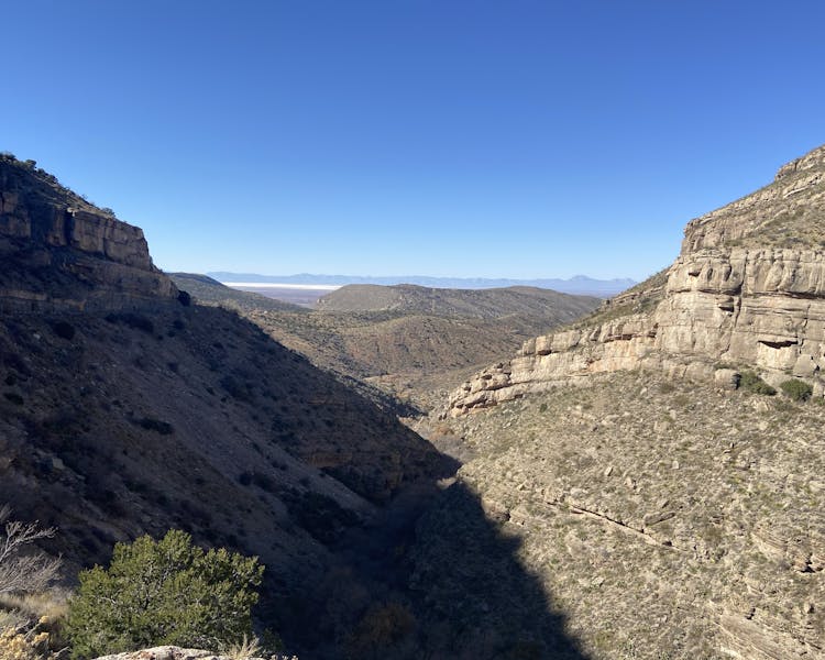
Tunnel Vista (Only Tunnel in New Mexico)
The Tunnel Vista Observation site is on Highway 82 about a mile west of High Rolls. There are spectacular vistas of the Tularosa Basin looking west as well as a few water holes at the bottom if you can hike down.
